benefits
Bringing clarity and style to public transport plans
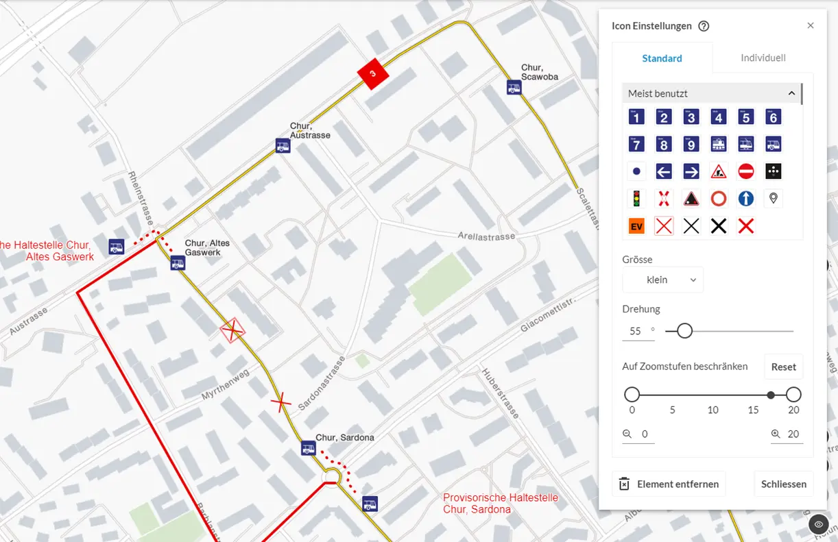
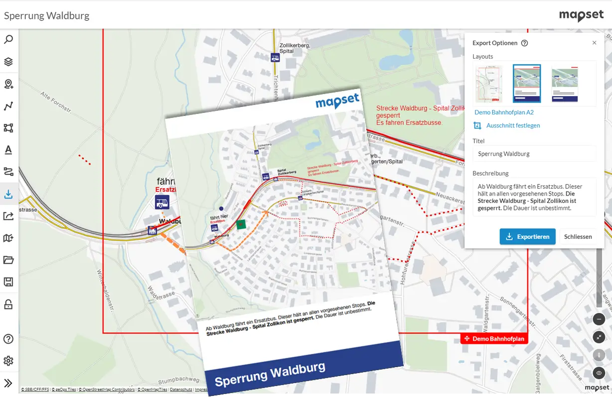
mapset is the online editor for the simple creation of clear and visually appealing plan graphics. The base map is optimised for public transport and contains all relevant information.
Design informative plans of stops quickly and easily. Substitute traffic or road works can be mapped as well as the situation during major events for which the guidance of passengers is required. In just a few minutes, a plan can be created that provides targeted information and has a high graphic quality. If desired, the elements of the company's own corporate design can be adopted.

pricing
Simple, transparent pricing
mapset has the right plan for companies of all sizes. For public transport companies, the costs depend on the number of stops. There are individual agreements for all other companies.
15%
FREE 0 € per month
| MINI 250 € per month
| MIDI 550 € per month
| MAXI 800 € per month
|
Share AddOn
- Collaborative editing of plans
If you save plans in your plan list, you can share them with other people in your group for further editing. This means that all members of the group always have access to the latest version of the plan.
- Creating default plans
By adding parameters such as operator and a stop ID to a URL, stop plans can be called up automatically - interactively for integration in your digital channels or as a PDF in your layout. Validity can also be defined for individual plans, e.g. for temporary drawings during a construction project.
FREE
0
€ per month
MINI
75
€ per month
MIDI
115
€ per month
MAXI
150
€ per month
Fees may be incurred for setting up access. For Swiss companies, the prices are exclusive of VAT of 8.1 %.
*Prices refer to the total number of stops or stations of a company, regardless of the number of stations actually served by mapset.
Our customers
Who are our subscribers?

With mapset, BERNMOBIL has introduced a reliable, easy-to-use tool. We can implement changes in just a few steps and obtain clear, consistent plans. The support team at geOps provides us with straightforward assistance whenever we need it. This enables us to provide our employees with accurate, digital map material.
Brigitte Rotowski
Development & Digitalization Specialist
BERNMOBIL

Contact
Caught your interest?
Write us or have us call you back.
We're looking forward to hearing from you.